
 Kontakt
 Wie einkaufen
Versand
Kaufberater
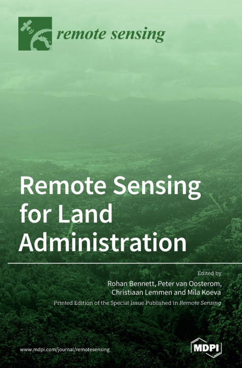
Remote Sensing for Land Administration
 Englisch
 134 b
134 b
 Lieferung in Griechenland
Bis zu 30 Tage Rückgaberecht
Kunden kauften auch






 /
/
 Broschur
 13.74
€
13.74
€



What is land? Who owns it? Who can use it? How much is it worth? What can it be used for? These are the questions land administration seeks to answer responsibly, which requires trustworthy people, transparent processes, and reliable information systems. Spatial information is an essential ingredient, and is embedded in the cadastral plans, maps, and land registry records that are used to prove ownership, trade land, access credit, resolve land disputes, enable fair taxation, and support land use planning and development. In the past, ground-based surveying techniques were used to capture the information, however, advances in remote sensing are driving the development of approaches that are faster, lower in cost, more accurate, or more participatory. These can be used to build land administration systems that better support poverty reduction, rapid urbanization, vertical development, and complex infrastructure management. The contributions contained in this book unpack these developments and the potential impacts and explore applications of high-resolution satellite imagery, unmanned aerial vehicle imagery, laser scanning, airborne and terrestrial (LiDAR), machine learning, and artificial intelligence methods, as applied to land administration in parts of Europe, Asia, and Africa.


Informationen zum Buch
Englisch

Verschenken Sie dieses Buch noch heute
Es ist ganz einfach
1 Legen Sie das Buch in Ihren Warenkorb und wählen Sie den Versand als Geschenk 2 Wir schicken Ihnen umgehend einen Gutschein 3 Das Buch wird an die Adresse des beschenkten Empfängers geliefertDas könnte Sie auch interessieren




 /
Broschur
26.18
€
/
Broschur
26.18
€



 /
Broschur
42.77
€
/
Broschur
42.77
€

Hallo! Ich bin Libroamiko, dein Buchberater.
Wie kann ich dir helfen?