
 Kontakt
 Wie einkaufen

Versand
Kaufberater
WEBODM
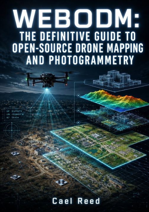
THE DEFINITIVE GUIDE TO OPEN-SOURCE DRONE MAPPING AND PHOTOGRAMMETRY: Process Aerial Imagery into Orthomosaics, Point Clouds, DEMs, and 3D Models Using Docker and Ground Control Points
 Englisch
 86 b
 Neu
 Lieferung in Griechenland
Bis zu 30 Tage Rückgaberecht

Turn aerial imagery into accurate, usable mapping products with a practical understanding of the complete drone photogrammetry workflow.
Producing an orthomosaic or 3D model is easy to start, but producing results you can actually evaluate, measure, troubleshoot, and deliver with confidence requires much more than clicking Process. This guide shows you how camera geometry, flight planning, coordinate systems, control points, reconstruction settings, hardware resources, and quality checks work together.
You will move from image acquisition and system setup through professional processing, accuracy assessment, large-project workflows, automation, and final geospatial delivery. Just as importantly, you will learn why attractive results can still be wrong, how to identify the source of reconstruction problems, and when the available imagery cannot support the measurement you want to make.
- Plan drone surveys around GSD, frontlap, sidelap, cross-grid geometry, nadir and oblique imagery, terrain variation, motion blur, and rolling shutter
- Install and operate a Docker-based processing environment while managing containers, volumes, storage, updates, backups, and recovery
- Prepare imagery, inspect camera metadata and GPS information, organize repeatable tasks, and build purpose-specific processing configurations
- Work confidently with coordinate reference systems, datums, projections, ground control points, vertical references, and independent checkpoints
- Understand feature detection, image matching, tie points, bundle adjustment, camera calibration, lens distortion, and systematic model deformation
- Control point-cloud density, filtering, mesh detail, orthophoto resolution, DSM and DTM generation, and SMRF ground classification
- Create and evaluate orthomosaics, dense point clouds, terrain models, contours, hillshade, slope products, profiles, meshes, textures, glTF models, and 3D Tiles
- Measure distance, height, area, and stockpile volume while accounting for accuracy, surface quality, residuals, RMSE, and uncertainty
- Use RTK and PPK image positioning together with ground control and checkpoint validation for high-precision workflows
- Troubleshoot water, vegetation, snow, sand, glass, reflective materials, low-texture scenes, weak image connections, and difficult 3D geometry
- Process large image collections with split-merge, image groups, multiple processing nodes, and distributed cluster workflows
- Align repeat surveys for construction progress, excavation, stockpile change, erosion, and other change-detection applications
- Tune memory, CPU, GPU, concurrency, and storage performance for demanding datasets
- Automate projects and processing tasks through the API and prepare secure remote or multi-user deployments
- Prepare professional outputs for QGIS, CloudCompare, 3D applications, geospatial analysis, archival use, and client delivery
The guide includes practical command-line examples, Docker commands, Python scripts, configuration samples, GDAL and PDAL workflows, and automation examples that connect the concepts to real processing and quality-control tasks.
Grab your copy today and build a more reliable, measurable, and professional drone mapping workflow from acquisition through final delivery.


Informationen zum Buch
Englisch
Kategorie

Verschenken Sie dieses Buch noch heute
Es ist ganz einfach
1 Legen Sie das Buch in Ihren Warenkorb und wählen Sie den Versand als Geschenk 2 Wir schicken Ihnen umgehend einen Gutschein 3 Das Buch wird an die Adresse des beschenkten Empfängers geliefertHallo! Ich bin Libroamiko, dein Buchberater.
Wie kann ich dir helfen?