
 Επικοινωνία
 Πώς να κάνετε αγορές;
Παράδοση
Οδηγός αγορών
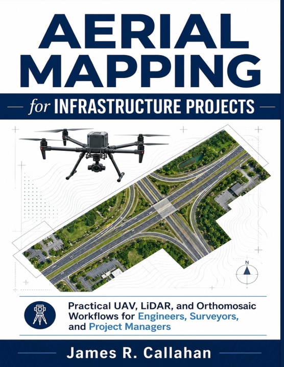
Aerial Mapping for Infrastructure Projects
Practical UAV, LiDAR, and Orthomosaic Workflows for Engineers, Surveyors, and Project Managers
 Αγγλική
 129 b
129 b
 Νέα
Νέα
 Παράδοση στην Ελλάδα
Έως 30 ημέρες για επιστροφή

Aerial Mapping for Infrastructure Projects
Practical UAV, LiDAR, and Orthomosaic Workflows for Engineers, Surveyors, and Project Managers
Published independently by James R. Callahan
Infrastructure projects are moving faster, becoming more data-driven, and demanding better decision-making than ever before. Yet many teams still struggle with inconsistent aerial mapping workflows, unreliable deliverables, confusing software pipelines, poor QA/QC practices, and costly field mistakes that delay projects and reduce confidence in the data.
Aerial Mapping for Infrastructure Projects was written to solve those problems.
Whether you are working on roads, bridges, rail corridors, construction sites, utilities, drainage systems, land development, inspections, or earthworks, this practical guide shows you how to plan, capture, process, validate, and deliver professional aerial mapping results using UAVs, LiDAR, photogrammetry, orthomosaics, DEMs, DSMs, DTMs, GIS, CAD, and BIM workflows.
This is not a theory-heavy academic textbook.
It is a real-world workflow manual designed to help engineers, surveyors, UAV operators, GIS professionals, construction teams, and project managers produce reliable, repeatable, and actionable mapping deliverables with greater confidence.
Inside this book, you will learn how to:
- Select the right UAV platforms and sensors for different infrastructure projects
- Plan mapping missions for accuracy, efficiency, and safety
- Use RTK/PPK workflows and ground control effectively
- Capture high-quality aerial imagery and LiDAR data
- Process orthomosaics, point clouds, DEMs, DSMs, and DTMs
- Validate accuracy using checkpoints, RMSE analysis, and QA/QC procedures
- Integrate deliverables into GIS, CAD, and BIM environments
- Manage construction monitoring and progress tracking workflows
- Perform infrastructure inspections and condition assessments
- Reduce common field and processing mistakes before they become expensive problems
- Build scalable workflows for repeat infrastructure projects
- Understand future trends including AI, cloud processing, automation, and digital twins
- Road and highway mapping
- Bridge inspection workflows
- Rail and utility corridor projects
- Floodplain and drainage analysis
- Earthwork volume calculations
- Stakeholder reporting
- Client deliverables
- Project documentation
- Data management and version control
Every chapter includes:
- Professional workflow explanations
- Real operational guidance
- Practical field observations
- QA/QC recommendations
- Key takeaways
- Practical exercises
- Repeatable best practices for real-world project environments


Πληροφορίες για το βιβλίο
Αγγλική

Χαρίστε αυτό το βιβλίο σήμερα
Είναι εύκολο
1 Προσθέστε το βιβλίο στο καλάθι σας και επιλέξτε παράδοση ως δώρο 2 Ως ανταμοιβή θα σας στείλουμε ένα κουπόνι 3 Το βιβλίο θα φτάσει στη διεύθυνση του παραλήπτηΓεια σας! Είμαι ο Libroamiko, ο σύμβουλος βιβλίων σας.
Πώς μπορώ να σας βοηθήσω;